Johannesburg – Following the launch of the “Correct the Map” campaign last year, the Assembly of the African Union (AU) has officially taken a landmark step to correct the centuries-long distortion of Africa’s size in global maps, geospatial systems, and educational curricula.
Moving away from the widely used Mercator projection, which significantly shrinks landmasses near the equator, the AU has endorsed the Equal Earth projection as a fairer global standard.
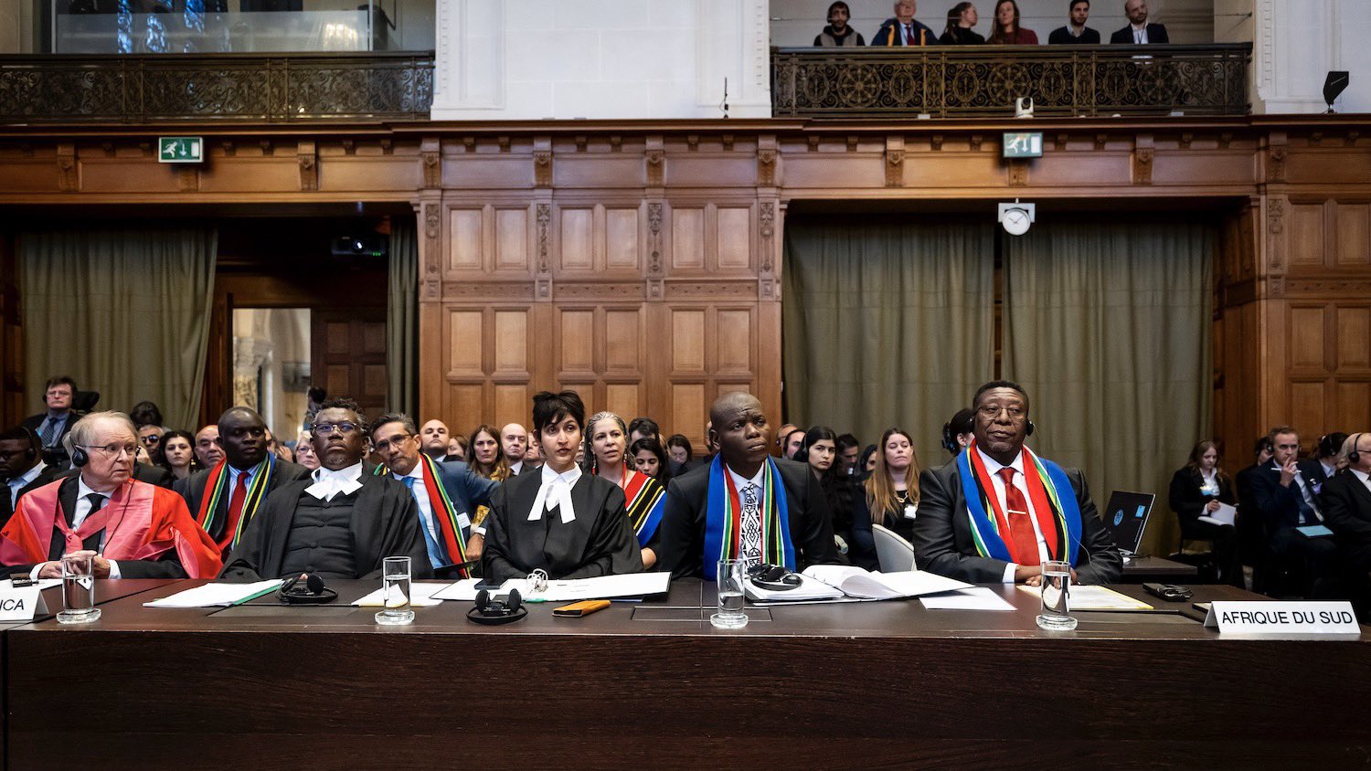
At its 39th Ordinary Session, the AU adopted a landmark decision to correct Africa’s misrepresentation in global cartography, geospatial systems, media, and educational curricula.
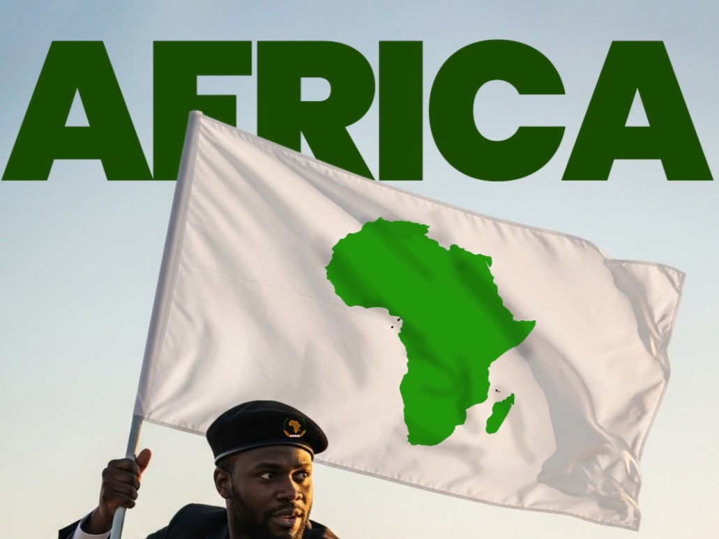
This milestone reinforces growing continental efforts, including the Correct the Map campaign led in partnership with Africa No Filter and Speak Up Africa, to promote the adoption of the Equal Earth projection as a more accurate global mapping standard.
This decision advances the AU’s 2025 Theme of the Year, “Justice for Africans and People of African Descent Through Reparations,” and contributes to the aspirations of Agenda 2063, particularly in strengthening Africa’s ownership of its narrative and rightful global positioning.
Correcting Centuries of Distortion
The Assembly reaffirmed that widely used cartographic models, especially the Mercator projection, significantly distort the true size of landmasses closest to the equator.
Despite being the world’s second-largest continent, covering about 30.37 million square kilometres, Africa has for centuries appeared visually diminished in classrooms, newsrooms, and policymaking spaces.
These distortions have influenced global perceptions, infrastructure planning, environmental governance, and geopolitical analysis.
Professor Robert Dussey, Minister of Foreign Affairs of the Republic of Togo, emphasised the urgency of restoring Africa’s visibility in global systems, stating, “We need a new political map of Africa that shows its true size and place in the world.
“A fair representation of Africa is essential for global awareness, education, and geopolitical understanding.”
Key Elements of the AU Decision
The Assembly:
- Recognised that distorted maps have undermined global understanding of Africa’s economic realities and development opportunities.
- Affirmed the Mercator projection’s long documented distortion of Africa’s size and significance.
- Adopted the Equal Earth projection as a fairer, more proportionate global mapping standard.
- Encouraged Member States to revise national curricula to reflect accurate cartographic representations.
- Recalled the 9th Pan African Congress’ calls for cartographic justice.
- Underlined the link between map accuracy, African identity, and the African Renaissance.
- Designated a Champion to lead implementation and reporting.
A Step Toward Cognitive Justice and Symbolic Reparation
By correcting how Africa is visually depicted, the AU is challenging long-standing distortions rooted in colonial cartography.
Accurate representation is integral to cognitive justice, narrative repair, and Africa’s strategic visibility on the global stage.
Moky Makura, Executive Director of Africa No Filter, reflected on the broader progress this decision represents, saying: “We are pleased to be part of this historic moment.
“When Africa comes together to correct long-standing distortions, we move the continent forward.
“Accurate representation is not just about maps, it is about agency, progress, and ensuring the world sees Africa as it truly is.”
With this decision, the Assembly sends a clear and powerful message: Africa must be seen as vast, significant, and central to the world.